Topography Stereo Pairs (Parallel Viewing)
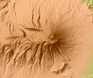
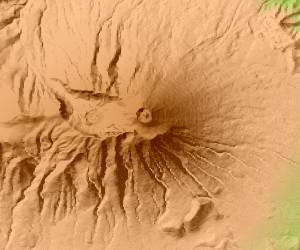
Mt.Iwatesan Iwate in Japan
Altitude of 2038m.
The top serves as north and a range which is about 9.25km.
This figure is 3D CG created by its own program based on the altitude data of "Digital Map 50m Grid (Elevation)" of "Geographical Survey Institute Government of Japan issue."
 Cross-eyed viewing