 ANAGLYPHANAGLYPH
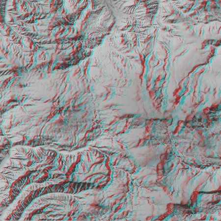
Mt.Hachimantai /Akita prefecture, Iwate prefecture in Japan.
It is contained in Towada-Hachimantai National Park.
top serves as the range of about 20.8km of top and bottom on the north.
This figure was created on the basis of numerical map 50m mesh (altitude) data of the Geographical Survey Institute issue.


