Topography Stereo Pairs (Cross-eyed Viewing)
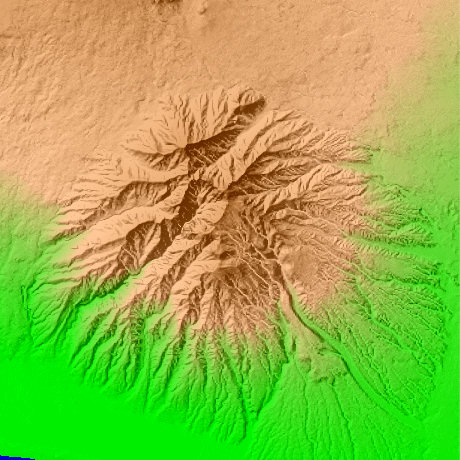
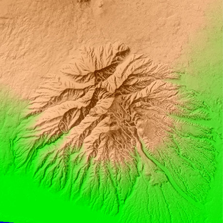
Mt.Ashitaka in Shizuoka Prefecture in Japan
By the general term of a mountain, Mt. Echizen (1504.2m) of the highest peak of the Ashitaka mountain which spreads south of Mt. Fuji is the highest peak. Mt. Echizen and on the south continue with the Yobuko mountain (1310m), and the east side continues with Mt. Nokogiri (1206m) and a mortuary tablet mountain (1457.5 m). Mt. Echizen is located North latitude 35-degree 14-minute and 16 seconds, and east longitude 138-degree 47 minutes and 38 seconds.
This figure is 14.6km. Latitude 9-minute and 12 seconds, and longitude 11 minutes and 30 seconds
This figure is 3D CG created by its own program based on the altitude data of "Digital Map 50m Grid (Elevation)" of "Geographical Survey Institute Government of Japan issue."
 Parallel viewing
 ANAGLYPH
All Right Reserved.
No reproduction or republication without written permission.