Topography Stereo Pairs (Cross-eyed Viewing)
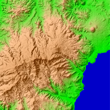
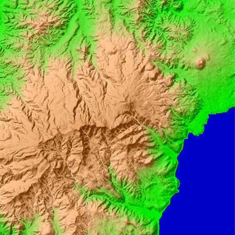
Mt.Amagi in Shizuoka Prefecture in Japan
Main Mine of Mt.Amagi adjoins Mt.Mansaburo (1405.7 m) and the east with Mt.Manjiro (1299m), and adjoins the northeast with Mt.Togasa (1197m). The place out of which the lower part of a figure and the valley incised deeply come to the seashore has Atagawa Spa. Mt.Mansaburo is located North latitude 34-degree 51-minute and 46 seconds, and east longitude 139-degree 0 minute and 6 seconds.
This figure is 14.6km. Latitude 9-minute and 12 seconds, and longitude 11 minutes and 30 seconds
This figure is 3D CG created by its own program based on the altitude data of "Digital Map 50m Grid (Elevation)" of "Geographical Survey Institute Government of Japan issue."
 Parallel viewing
 ANAGLYPH
All Right Reserved.
No reproduction or republication without written permission.