Topography Stereo Pairs (Cross-eyed Viewing)
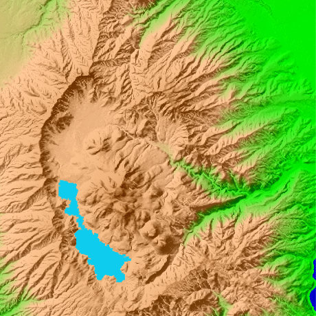
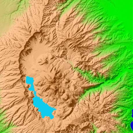
Ashinoko Lake and Hakone Kanagawa Prefecture in Japan
The water surface altitude of Ashinoko is 723m. Mt. Komagatake (1356m) which is in the east in Ashinoko, and the Mt. Komagatake rope way leads to Ashinoko. The positions of Mt.Kintoki are north latitude 35-degree 17-minute and 22 seconds, and east longitude 139-degree 0 minute and 17 seconds.
This figure is 14.6km. Latitude 9-minute and 12 seconds, and longitude 11 minutes and 30 seconds
This figure is 3D CG created by its own program based on the altitude data of "Digital Map 50m Grid (Elevation)" of "Geographical Survey Institute Government of Japan issue."
 Parallel viewing
 ANAGLYPH
All Right Reserved.
No reproduction or republication without written permission.