Topography Stereo Pairs (Cross-eyed Viewing)
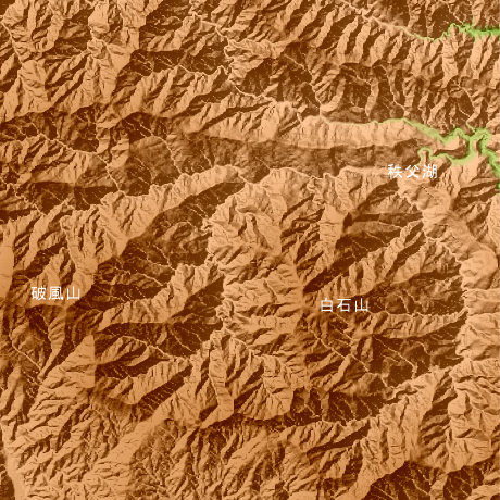
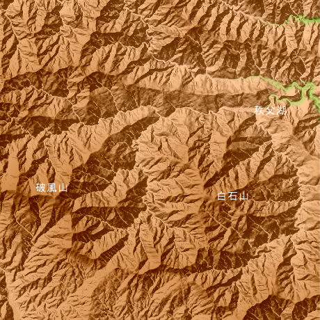
Chichibu mountain Saitama Prefecture in Japan
Mt.Shiraisi (2036.0 m) North latitude 35-degree 53-minute and 57 seconds, and east longitude 138-degree 52 minutes and 40 seconds, and it is also called Mt.Wanakura and the Chichibu lake is in a northeast. West, it continues with Mt.Happu (2317.7 m) and Mt.Karisakarei (2289.2 m).
This figure is 14.6km. Latitude 9-minute and 12 seconds, and longitude 11 minutes and 30 seconds
This figure is 3D CG created by its own program based on the altitude data of "Digital Map 50m Grid (Elevation)" of "Geographical Survey Institute Government of Japan issue."
 Parallel viewing
 ANAGLYPH
All Right Reserved.
No reproduction or republication without written permission.