Topography Stereo Pairs (Cross-eyed Viewing)
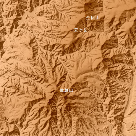
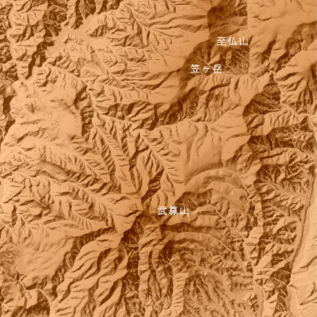
Mt.Hotaka Gumma Prefecture in Japan
It is the conical volcano type volcano in which Mt.Hotaka (2158.0 m) (north latitude 36-degree 48-minute and 18 seconds, and east longitude 139-degree 7 minutes and 57 seconds) is made into main Mine, and Mine of 2000 Class m ‚̀, such as Mt.Maehotaka (3039.7 m) and Mt.Kengamine (2083m), forms a summit-of-the-mountain part.
This figure is 14.6km. Latitude 9-minute and 12 seconds, and longitude 11 minutes and 30 seconds
This figure is 3D CG created by its own program based on the altitude data of "Digital Map 50m Grid (Elevation)" of "Geographical Survey Institute Government of Japan issue."
 Parallel viewing
 ANAGLYPH
All Right Reserved.
No reproduction or republication without written permission.